Navigation

Cinq applications électroniques de navigation.

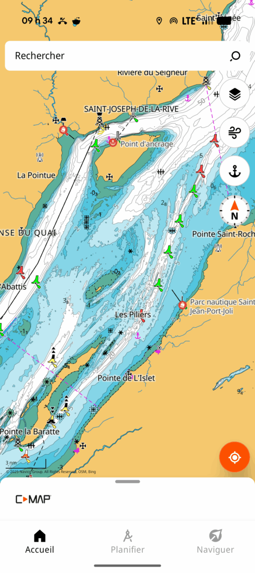
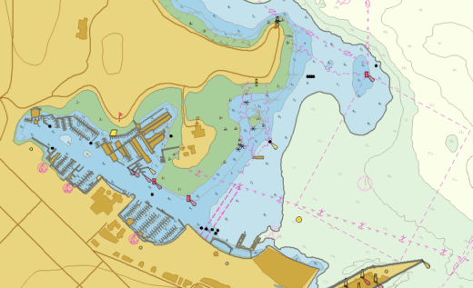
Which Navigation App is Best for Me?

I have written five texts describing the use of the electronic navigation applications: Navionics (Boating), C-MAP, OpenCPN, Savvy Navvy and SeaIQ. Each text examines hot to perform eight essential navigation tasks. Which one is best suited to your needs? The table below assesses the strengths and weaknesses of each. Criteria...

Le port de Montréal avec son trafic.

Introduction to SEAiq – Pilot

Note: the author benefited from a licence from the Canadian Hydrographic Service and from SEAiq to write this text. This text is the last of five on electronic navigation applications. It covers the use of the SEAiq – Pilot software. This software enables you to work with S-100 charts, the...

Une route de navigation sur la carte 1233 (OpenCPN).

Introduction to OpenCPN App

This text is the second in a series of five on electronic navigation applications. It shows how to use the OpenCPN application to perform eight essential navigation tasks: The other texts cover the Navionics (Boating), Savvy Navvy, C-MAP and SEAIQ applications respectively. Before reading this text, it is a good...

Navigation avec Savvy Navvy.

Introduction to the Savvy Navvy App

This text is the fourth of five on electronic navigation applications. It covers the use of the Savvy Navvy application to perform the eight essential navigation tasks: The other texts cover the Navionics (Boating), C-MAP, OpenCPN and SEAiq applications respectively. This text assumes that the application is installed on a...

Carte S-104 combinant niveaux et courants.

Introduction to Electronic Navigation Apps

This text focuses on electronic navigation applications for small boats. These electronic applications are used to display electronic charts. For concrete examples, I wrote five introductions to different applications: Navionics (Boating), OpenCPN, C-MAP, Savvy Navvy and SEAiq. Below, I detail the elements common to navigation apps generally found on sailboats,...

Copie d'écran de l'application C-MAP.

Introduction to the C-MAP application

This is the third of five articles on the use of electronic navigation applications. It focuses on the C-MAP application. The other texts cover the use of OpenCPN, Savy Navy, Navionics and SEAiq. It focuses mainly on installations on tablets or cellular devices that are not connected to a sailboat’s...

Carte électronique de navigation (CEN).

Introduction to electronic charts

This text is intended as an introduction to electronic navigational charts (ENCs). It covers how they are designed. This knowledge helps understanding how to use them and their limitations. It is an essential reading before using our introduction to electronic navigation applications. You can also read a similar text on...

Navionics

Introduction to Navionics (Boating)

This text is the first in a series of five on electronic navigation applications. It shows you how to perform the most important navigation tasks, i.e. how to: This first text covers the Navionics (Boating) application. The other texts cover OpenCPN, Savyy Navy, C-MAP and SEAiq respectively. Prior to reading...

A Fast Rescue Craft

Fixing Techniques for Fast Boats

This text explains a fixing technique that is applicable on fast boats. It makes use of paper charts when there is little to no space for chartwork. The technique is useful if the chartplotter fails, or if checking the validity of an electronic fix is required. I learned the technique...

Spherical trigonometry and navigation

Setting the scene A ship leaves New York, USA, bound for Brest, France. Assuming it takes the shortest route, what will be its departure course? If it is sailing at 15 knots, how long will it take to reach Brest? The coordinates of the two ports are known (below). City...