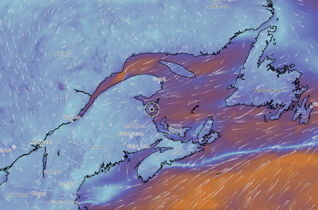
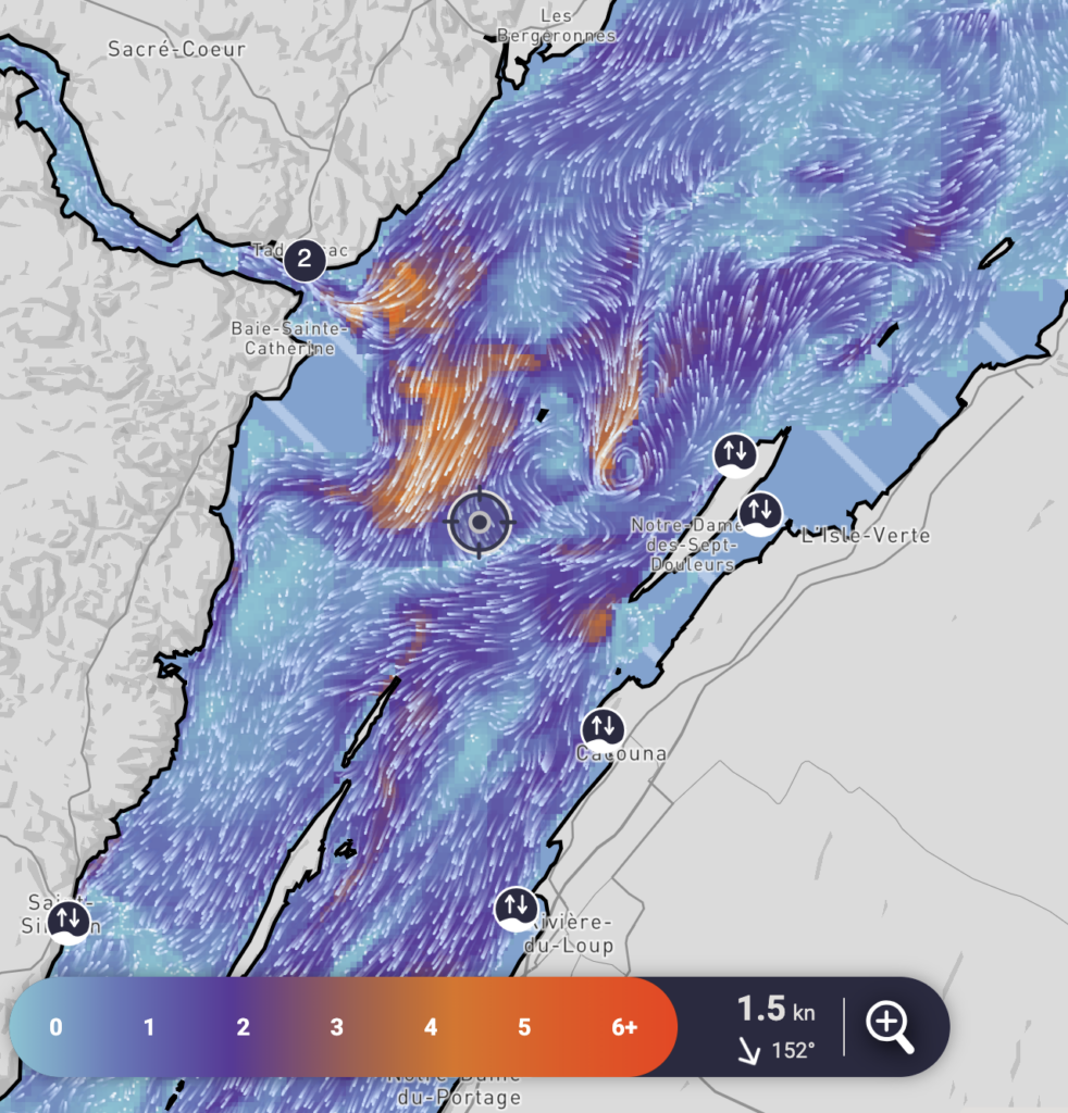
The St. Lawrence Global Observatory had been offering limited access to various S-100 map layers for some time. At the end of March, they launched the Nautilo app. This extends these maps to a range of services designed for navigation. It includes real-time wind and current data, as well as tide forecasting tools.
For those familiar with electronic navigation applications, nautilo features an interface that is a cross between the Windy wind forecasting site and the Boating navigation app. It is very easy to use. All in all, it is a promising app that makes planning and carrying out a trip easier.

Obviously, to access real-time data, you need some form of internet connection (mobile, satellite, etc.). For navigation purposes, it is important to remember that paper charts are still mandatory on board vessels. If, in addition to charts, you rely on a mobile app for navigation, it is wise to have a backup plan in case of any failure.